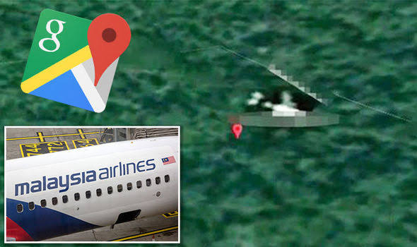
Malaysia Airlines Flight 370 (MH370) has been one of the greatest aviation mysteries of modern times. Disappearing on March 8, 2014, with 239 people onboard, Forbes the plane’s fate remains largely unknown despite years of searches and theories. In 2024, many are turning to an unlikely tool to investigate this mystery—Google Maps. In this blog post, we’ll explore how Google Maps is being used to search for MH370, why it’s gaining attention, and whether this approach holds any promise.
Contents
Why Is MH370 Still a Mystery?
malaysia airlines flight 370 google maps vanished during its journey from Kuala Lumpur to Beijing. Despite extensive search efforts spanning vast areas of the Indian Ocean, only a few pieces of debris confirmed to be from the flight have been found. The official search ended in 2017, leaving behind countless unanswered questions about what truly happened to the aircraft.
This lack of closure has led many independent researchers, conspiracy theorists, and aviation enthusiasts to seek answers using whatever tools they can find, including Google Maps.
How Is Google Maps Being Used?
Google Maps and Google Earth are popular platforms for armchair detectives hoping to solve the MH370 mystery. Here’s how they’re trying to use these tools:
- Scanning Satellite Images: People scour satellite images for anything resembling a plane or debris in remote areas, including the Indian Ocean and jungle terrains.
- Sharing Findings: Users often share their discoveries on social media platforms, Reddit, and YouTube, seeking validation and additional insight.
- Crowdsourcing Efforts: Some enthusiasts create forums or groups to collectively analyze satellite images and discuss potential leads.
Notable Discoveries on Google Maps
Over the years, several individuals have claimed to spot remnants of MH370 on Google Maps. While none have been conclusively verified, these discoveries often make headlines. Here are a few examples:
- 2018 Indian Ocean Sighting: A user claimed to find what looked like an aircraft underwater off the coast of Mauritius. Despite gaining traction, experts dismissed it as an unrelated object.
- Cambodian Jungle Image: Another enthusiast suggested that Google Maps revealed the plane’s outline in a dense jungle. Follow-up searches in the area found no evidence to support this claim.
- New Guinea’s Remote Terrain: Recently, a viral post alleged the discovery of a wreckage-like structure using satellite images near New Guinea, reigniting debates about the plane’s potential crash site.
Challenges with Using Google Maps
While Google Maps is an impressive tool, it’s not without its limitations when it comes to solving a mystery like MH370:
- Low Image Resolution: Satellite images on Google Maps often lack the resolution needed to distinguish a plane from other objects.
- Outdated Images: The platform doesn’t always have up-to-date imagery, making it challenging to spot changes over time.
- False Positives: Many “discoveries” turn out to be unrelated objects like rocks, shadows, or natural formations.
- Scale of Search: The area where MH370 might have disappeared is immense, and manually scanning it is a daunting task.
Is There Any Real Potential?
Despite the challenges, the use of Google Maps keeps the public engaged in the search for MH370. It also highlights the power of crowdsourcing and the growing accessibility of satellite technology. However, experts caution that any credible search effort requires more sophisticated tools and resources than what Google Maps can provide.
Conclusion
malaysia airlines flight 370 google maps Google Maps has inspired renewed interest in the MH370 mystery, it’s unlikely to provide definitive answers on its own. The disappearance of MH370 remains a sobering reminder of how vast and unpredictable our world can be. For now, the platform serves as a tool for speculation and community-driven curiosity rather than a definitive solution.
As technology advances and new evidence emerges, the search for MH370 may one day reach a conclusion. Until then, efforts like these keep the story alive and remind us of the importance of understanding aviation safety.
FAQs
1. Can Google Maps really help find MH370?
Google Maps can aid in public interest and speculation, but its limitations make it unlikely to solve the mystery definitively.
2. What are the biggest challenges in using Google Maps for this search?
Low image resolution, outdated imagery, and the sheer scale of the search area make it difficult to rely solely on Google Maps.
3. Has anyone found credible evidence of MH370 using Google Maps?
While several claims have been made, none have been verified as credible or led to significant discoveries.
4. Why is MH370 still unsolved?
The vast and remote areas involved, combined with limited evidence, make the disappearance difficult to investigate thoroughly.
5. What else is being done to find MH370?
Governments and private organizations occasionally revisit the search using advanced technology, but no large-scale efforts are currently underway.


